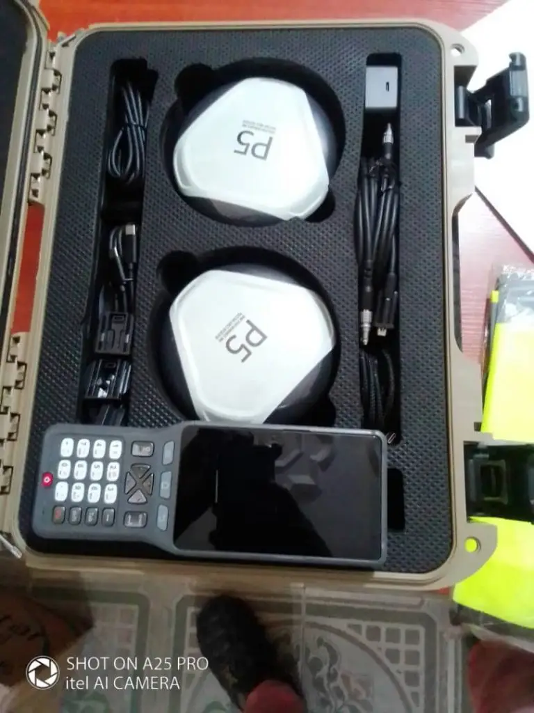
The Pozstar GNSS Receiver is the ultimate solution for high-precision positioning in surveying, mapping, and geospatial applications. Designed for professionals who demand accuracy, durability, and efficiency.
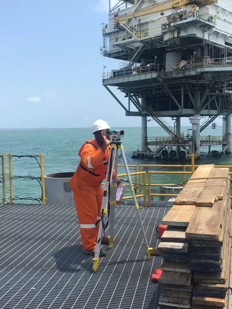
Our expert surveyors utilize state-of-the-art equipment and methodologies to capture precise measurements, ensuring reliable data for planning and execution
Land & Engineering Surveys
Construction and procurement
Layout designs and planning
Geospatial Mapping & GIS
Leveraging Geographic Information Systems (GIS) and remote sensing to produce high-resolution maps and spatial analyses
Offshore/ hydrographic survey
Specializing in underwater topography, we deliver essential data for maritime and offshore construction projects.
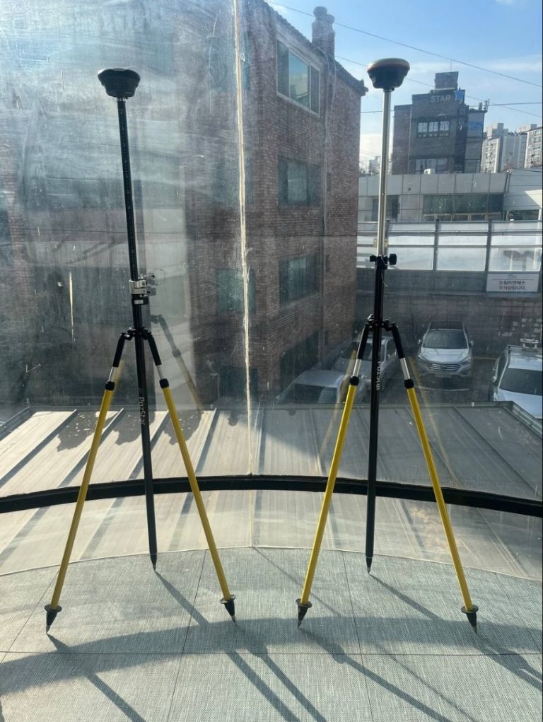
We supply high-quality GNSS and surveying equipment for accurate data collection and seamless field operations. Get the best tools for your surveying needs today!
Why You Should Trust Us
We offer a diverse range of surveying and mapping services designed to meet the needs of various industries.
Utilizing state-of-the-art technology and drawing on decades of professional experience, our services ensure precision, reliability, and actionable insights.
Commitment to Quality
We adhere to global best practices and industry standards, ensuring precision and reliability in every project.
Customized Solutions
We tailor our surveying and mapping services to meet the unique needs of clients across various industries
Advanced Technology & Equipment
We leverage cutting-edge tools like GPS, LiDAR, UAVs, and sonar systems to deliver accurate and reliable data.
Industry Expertise and Experience
Our team of skilled surveyors, engineers, and GIS specialists brings years of experience to every project.
Our Clients
Don’t just take our word for it
★★★★★Rated 5 out of 5
I contracted ENS-Geoconsult Limited for a project, not only were they excellent in project delivery, but also exuded a high level of professionalism all through the project timeline. I gladly refer this organisation.
Contact Person
Niger Rocks Integrated Resources Limited
☆☆☆☆☆Rated 4.5 out of 5
In search of a company that's not only trustworthy, but excellent, transparent and skilled at what they do? ENS-Geonsult offers all of these and more. One you can count on.
Project Manager
A.A Foundations
★★★★★Rated 5 out of 5
I strongly recommend this guys, they know their onions. This is our unbiased opinion.
Adminstration
Kenno Menna Limited
★★★★★Rated 4 out of 5
ENS-Geoconsult Limited is a great service provider for land and engineering surveys, not forgetting procurement of quality, durable GIS equipment.