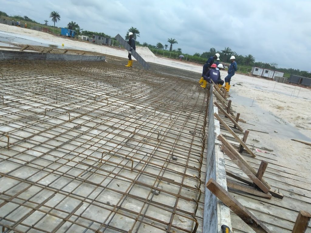
We offer a diverse range of surveying and mapping services designed to meet the needs of various industries. Utilizing state-of-the-art technology and drawing on decades of professional experience, our services ensure precision, reliability, and actionable insights.
Geospatial Mapping & GIS
Our GIS solutions serve a wide range of sectors—from urban development to environmental monitoring—helping clients visualize, plan, and manage their assets more efficiently.
Our services include:
Spatial data collection and analysis
Thematic and cadastral mapping
Asset and utility mapping
Digital terrain models and 3D visualization
Urban and regional planning support
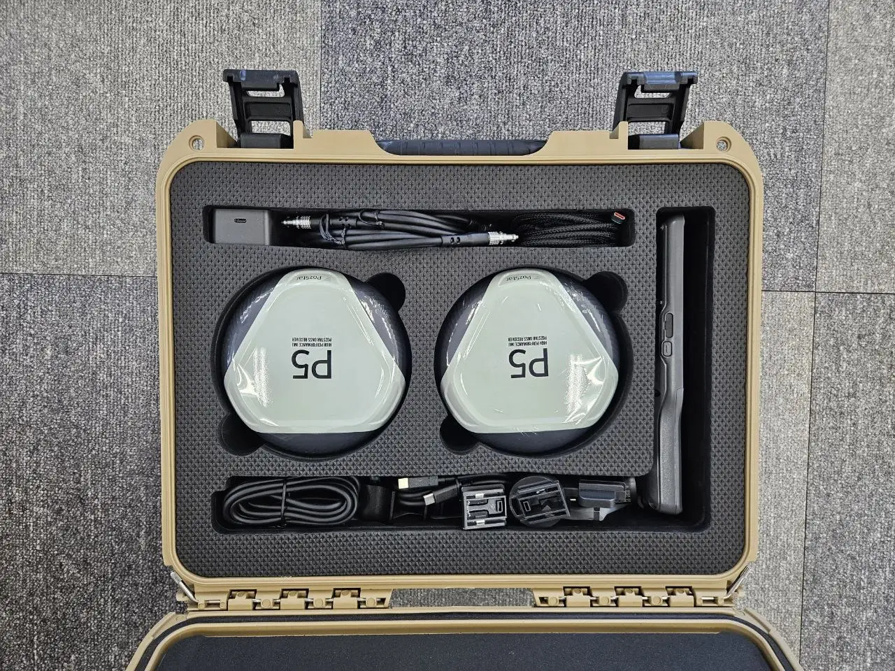
Procurement of GNSS & Survey Equipment
We supply high-performance GNSS and survey equipment tailored to the needs of surveyors, engineers, and GIS professionals.
What we offer:
GNSS receivers (RTK, PPP-enabled)
Total stations and auto levels
UAVs/drones for aerial surveys
Hydrographic equipment (sonars, echo sounders)
Data collectors and accessories
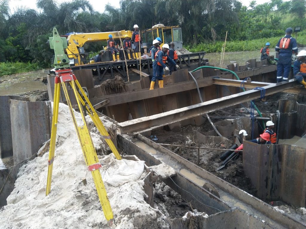
Offshore/ Hydrographic Survey
We combine world-class hydrographic equipment, experienced hydrographers, and strict safety protocols to deliver data you can trust, even in challenging offshore environments.
We specialize in:
Bathymetric surveys (single-beam & multi-beam)
Seabed classification and mapping
Sub-bottom profiling and side-scan sonar
Port, harbor, and inland waterway surveys
Pipeline and cable route surveys
Let’s Help You Map the Future
Whether you’re developing infrastructure, exploring offshore resources, or building smart cities, ENS Geoconsults Limited is your trusted partner in delivering data-driven geospatial intelligence